Services
Both the communications system and the temporary DGPS systems are charged out on a per hour basis.

Our key service offerings include:
- Thermal imaging of powerlines
- Ground penetrating radar with two new applications – fibre optic cable route analysis and identifying fires in coalmines
- Ultra-long-range drone-mounted LiDAR systems
Additional bespoke work also includes the provision of the below for multi-use requirements:
- Temporary telescopic communications towers, where the exact location of each tower is surveyed to create a DGPS differential enabling centimetre accurate location updates on the drone that do not depend on GPS.
- A drone with the pre-requisite sensors including photogrammetry, LiDAR and any other sensor required
- An operator with IT connected to the communications system
Work across our key markets includes:
| Industry sector | Application description | |
| Electricity transmission lines | 1 | Use of Photogrammetry, LiDAR and ultra-accurate DGPS to create high resolution 3D imagery of electricity transmission lines – currently performed by helicopters |
| Construction | 2 | Using centre meter-accurate LiDAR generated point-clouds can be used to compare architectural designs to actual builds. |
| Civil Engineering | 3 | Detailed surveying of terrain for civil engineering at the planning phase and through the duration of the project |
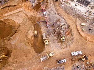
| Opencast Mining | 4 | Analysing extent of earth moved and compared to geological formations and reconciling with operational data |
| Environmental monitoring | 5 | Large number of applications include analysis of urban sprawl, contamination and bare-earth models, vegetation density, flood plain analysis |
